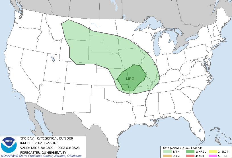
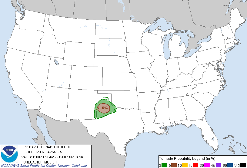
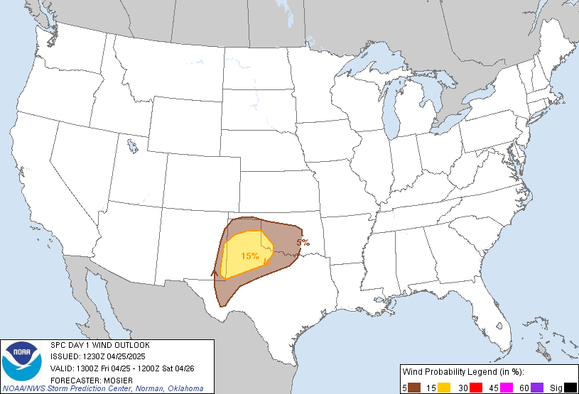
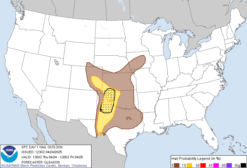
Between now and tomorrow though stands a better than good chance of severe weather. the Storm Prediction Center (SPC) has placed our area under a moderate risk. This severe weather outbreak also does pose a risk for tornado development, which has been hinted at by the SPC. Watches (severe thunderstorm and tornado) will be hoisted from west to east beginning pretty soon (already a 95% chance for C PA). As the front moves east, the watches will be extended. Any storms that develop prior to the frontal boundary and after some daytime heating will have the best chances for producing tornadoes. As the front passes, the biggest threat I think will be straight line winds and lightening.
For now, keep in your mind that severe weather IS expected this afternoon and keep an eye to the sky. Here are some graphics from the SPC for todays outbreak:


No comments:
Post a Comment