For areas along the Delaware River East and North of Philly.
Twitter- @townerswxpage | Facebook- Towner's Weather PAGE | Email- townerswxpage@gmail.com
Saturday, September 22, 2012
Frontal Boundary Pushes East
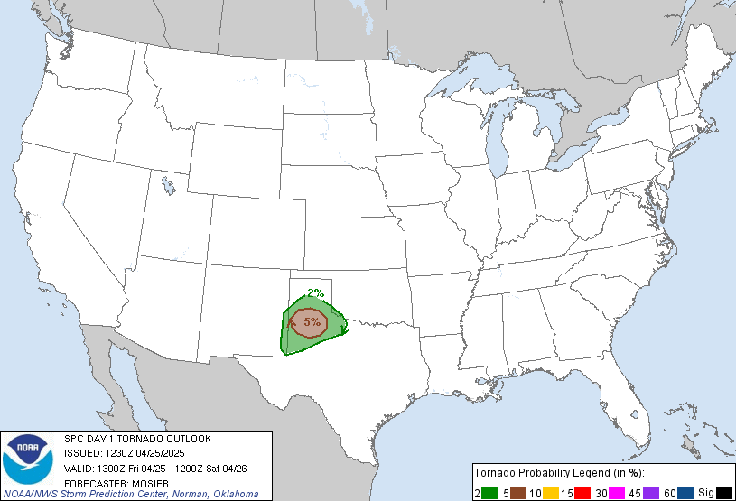
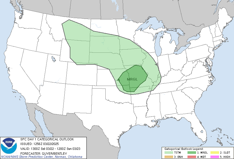
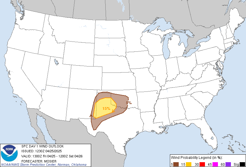
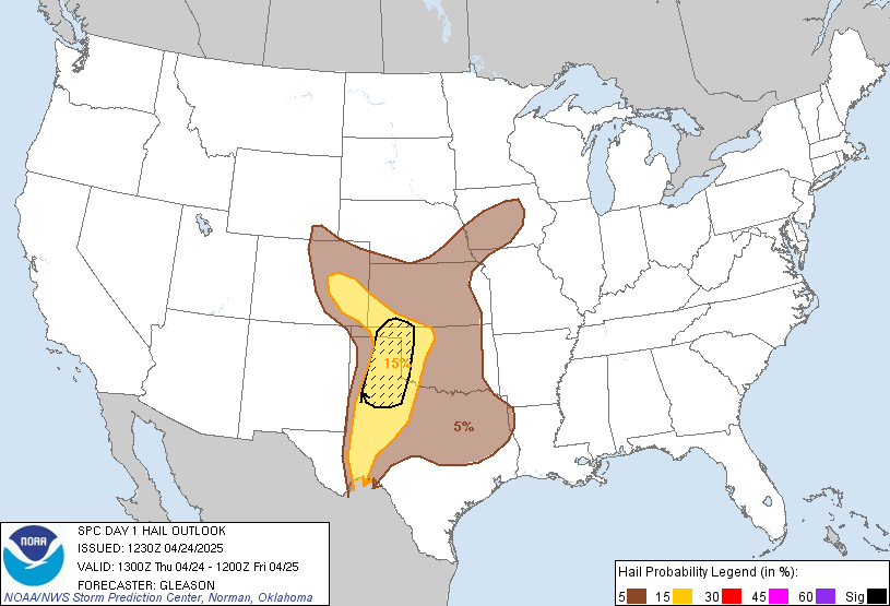
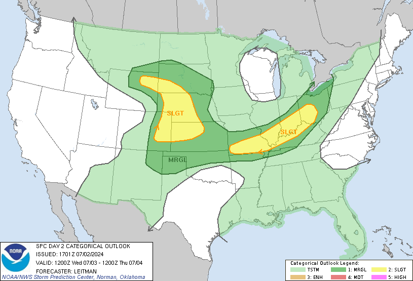
A frontal boundary, which will bring in the coolest temps in months will make its way east today. As it pushes through, storms will develop along the boundary. Temperatures are around 80 degrees for the area and humidity is on the rise. Expect some storms this afternoon and evening which will bring heavy rains and winds. The SPC has placed our area in the slight risk for severe weather today:
Tuesday, September 18, 2012
Another Severe Weather Threat Today
A cold front is approaching from the west which will bring much less humidity and cooler temperatures tomorrow. Until then, our area, along with the entire east coast will be under the gun for severe weather. Tornado watches have already been issued for areas south of us and now, recently within the past 20 minutes, the Storm Prediction Center has issued a tornado watch for the entire state of NJ. Here is the latest:
Saturday, September 8, 2012
Severe Thunderstorm Watch In Effect
For a large majority of the Northern Mid Atlantic. Just to our north, Tornado Watches are out. A potentially severe afternoon is shaping up across the entire Mid Atlantic and North East. Numerous tornadoes reported today from Buffalo to NYC. This will continue as a powerful cold front pushes eastward. Here is the latest for our area:
SEL6

   URGENT - IMMEDIATE BROADCAST REQUESTED
   SEVERE THUNDERSTORM WATCH NUMBER 636
   NWS STORM PREDICTION CENTER NORMAN OK
   1215 PM EDT SAT SEP 8 2012

   THE NWS STORM PREDICTION CENTER HAS ISSUED A
   SEVERE THUNDERSTORM WATCH FOR PORTIONS OF

          DISTRICT OF COLUMBIA
          DELAWARE
          MUCH OF MARYLAND
          NEW JERSEY
          EASTERN PENNSYLVANIA
          NORTHERN VIRGINIA
          THE EASTERN PANHANDLE OF WEST VIRGINIA
          COASTAL WATERS

   EFFECTIVE THIS SATURDAY AFTERNOON AND EVENING FROM 1215 PM UNTIL
   1000 PM EDT.

   HAIL TO 1 INCH IN DIAMETER...THUNDERSTORM WIND GUSTS TO 70
   MPH...AND DANGEROUS LIGHTNING ARE POSSIBLE IN THESE AREAS.

   THE SEVERE THUNDERSTORM WATCH AREA IS APPROXIMATELY ALONG AND 100
   STATUTE MILES EAST AND WEST OF A LINE FROM 50 MILES NORTH
   NORTHWEST OF ALLENTOWN PENNSYLVANIA TO 55 MILES SOUTHWEST OF
   WASHINGTON DISTRICT OF COLUM.  FOR A COMPLETE DEPICTION OF THE
   WATCH SEE THE ASSOCIATED WATCH OUTLINE UPDATE (WOUS64 KWNS WOU6).

   REMEMBER...A SEVERE THUNDERSTORM WATCH MEANS CONDITIONS ARE
   FAVORABLE FOR SEVERE THUNDERSTORMS IN AND CLOSE TO THE WATCH
   AREA. PERSONS IN THESE AREAS SHOULD BE ON THE LOOKOUT FOR
   THREATENING WEATHER CONDITIONS AND LISTEN FOR LATER STATEMENTS
   AND POSSIBLE WARNINGS. SEVERE THUNDERSTORMS CAN AND OCCASIONALLY
   DO PRODUCE TORNADOES.

   OTHER WATCH INFORMATION...CONTINUE...WW 634...WW 635...

   DISCUSSION...FRONTAL SQUALL LINE IS EXPECTED TO INTENSIFY THIS
   AFTERNOON AS IT ENCOUNTERS THE AREA OF GREATER SURFACE
   HEATING/INSTABILITY ACROSS ERN PA/MD/VA.  INCREASING LOW-MIDLEVEL
   FLOW WITH AN EJECTING SHORTWAVE TROUGH WILL LIKEWISE CONTRIBUTE TO
   AN INCREASING RISK FOR WIDESPREAD DAMAGING WINDS THIS AFTERNOON THIS
   AFTERNOON/EVENING.

   AVIATION...A FEW SEVERE THUNDERSTORMS WITH HAIL SURFACE AND ALOFT
   TO 1 INCH. EXTREME TURBULENCE AND SURFACE WIND GUSTS TO 60 KNOTS.
   A FEW CUMULONIMBI WITH MAXIMUM TOPS TO 450. MEAN STORM MOTION
   VECTOR 26040.


   ...THOMPSON
Severe Weather Update 09/08/2012
Little changes from yesterdays discussion as things are moving towards a potential severe wether day over NJ and into the NE. A frontal boundary is going to be pushing through bringing much more fall like temperatures, and lower humidity. In all likeliness, we may even be able to turn the AC units off tomorrow.
Between now and tomorrow though stands a better than good chance of severe weather. the Storm Prediction Center (SPC) has placed our area under a moderate risk. This severe weather outbreak also does pose a risk for tornado development, which has been hinted at by the SPC. Watches (severe thunderstorm and tornado) will be hoisted from west to east beginning pretty soon (already a 95% chance for C PA). As the front moves east, the watches will be extended. Any storms that develop prior to the frontal boundary and after some daytime heating will have the best chances for producing tornadoes. As the front passes, the biggest threat I think will be straight line winds and lightening.
For now, keep in your mind that severe weather IS expected this afternoon and keep an eye to the sky. Here are some graphics from the SPC for todays outbreak:
Friday, September 7, 2012
Severe Weather Threat Growing for 9/8/2012
Indications for a period of strong to severe weather are showing up for tomorrow. A cold front is poised to move through the area, and current thinking is that a squall line of potentially severe thunderstorms will develop, and move across our area. These storms will have the potential to cause some damage. While the rest of the day looks like a fairly nice weather day, keep an eye to the sky. The Storm Prediction Center has placed our area under a Moderate outlook for tomorrow (pretty safe bet for storms).
as always follow me on twitter: @townerswxpage and on facebook: Towners Weather Page
as always follow me on twitter: @townerswxpage and on facebook: Towners Weather Page
Wednesday, September 5, 2012
Yesterdays Tornado Confirmed In Mt Ephraim, NJ
National Weather Services crews surveyed the Mt Ephraim area this morning and determined it was in fact an EF0 tornado that struck Mt. Ephraim.
MOUNT EPHRAIM, N.J. — The National Weather Service says a tornado touched down in southern New Jersey, the first confirmed one in the state in more than a year.
Meteorologist Mitchell Gaines says it was an F-0 twister — the lowest classification.
It touched down at 6:31 p.m. Tuesday in the Philadelphia suburb of Mount Ephraim.
It traveled about on the ground for about 120 yards, cutting a path up to 75 feet wide with winds topping out at 70 mph.
It was enough to knock down one large tree and down several limbs, causing roof damage to some homes in the area.
The last confirmed tornado in New Jersey was in Millstone on Aug. 9, 2011.
Credit: AP
He's Back!
Well, sort of. Interesting developments with Isaac. His remnants have made it back to the Gulf Coast and could potentially redevelop into a depression. Noted here on the latest discussion by the NHC. Isaac remnants is in the yellow area with the 20% chance of development. Will have to be watched. The other dorm out there is Leslie who will be affecting Bermuda this weekend but will stay away from the majority of the east coast.
Tuesday, September 4, 2012
Tornado Warning- Cherry Hill area
Below is a velocity scan of the warned storm. Radar is picking up rotation (red area in between the greens) around the Cherry Hill Mall. This storm is moving NE
Isaac Remnants To Affect The Area
Finally the remnants of Isaac will move into the area bringing with it, extremely heavy rains and thunderstorms. The National Weather Service has posted flood watches for the majority of counties along the Delaware River. 2-4" of rain is expected and under the most intense bands, we could be looking at 1-2" per hour. in addition, thunderstorms can add dangerous lightening. There was also even a report of a tornado in Delaware yesterday.
Reminder to never drive through flooded roads. Keep and eye to the sky and prepare for any flooding to take place especially in the more intense bands.
Reminder to never drive through flooded roads. Keep and eye to the sky and prepare for any flooding to take place especially in the more intense bands.
Subscribe to:
Posts (Atom)


