***HIGH WIND WARNINGS POSTED FOR COASTAL AREAS***
FRONTAL PASSAGE LOOKS TO PASS BETWEEN 11PM AND 2AM.
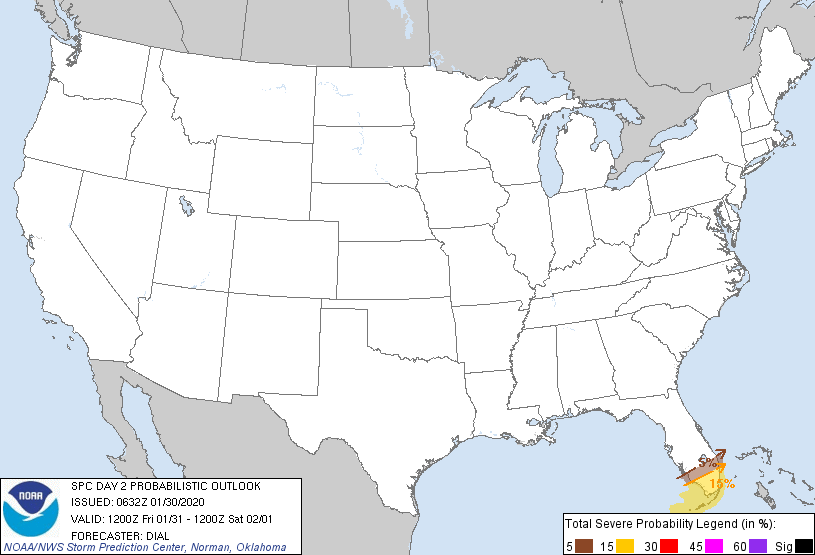
Well, if yesterday is any indication of whats coming, we should be in for quite the wild night. 14 Tornado watches issued yesterday, numerous reported tornadoes and other severe weather outbreaks. Continuing this morning, tornado warnings have already been issued for parts of Georgia. This threat will continue. The Storm Prediction Center has been all over this, and they continue with their forecasts for today. They have actually extended their area of severe weather up into our area as designated as the slight risk on their map. A slight risk into these parts in January is quite odd. Anyways, here are their maps:
OUTLOOK:



So, as you can see, our area (NJ) has been placed in a number of these categories. This is a vigorous cold front coming through and with temperatures getting up into the 60's today (already 65 in Buffalo, NY!!!), there will be some fuel. There are also extremely strong winds above the surface of the earth and any storm that can gain some elevation can get these winds to mix down. I think our primary threat will be strong winds with the frontal passage. We will also have some heavy rain, so much so that a Flash Flood Watch was issued for the area for 1"-2.5" of rain. That much rain falling quickly can lead to quick flooding conditions.
The frontal passage has been pushed back a little, due to it really becoming a slow mover. Originally I was looking for a late afternoon / evening start, but it appears now, that it will pass between 11pm and 2am. For many of you, you will be asleep and will probably be woken up by the winds, rain and possible thunder.
There will be more to come, so stay tuned to twitter @townerswxpage and facebook Towner's Weather PAGE