Friday, October 26, 2012

Hurricane Sandy Morning Update 10/26/2012

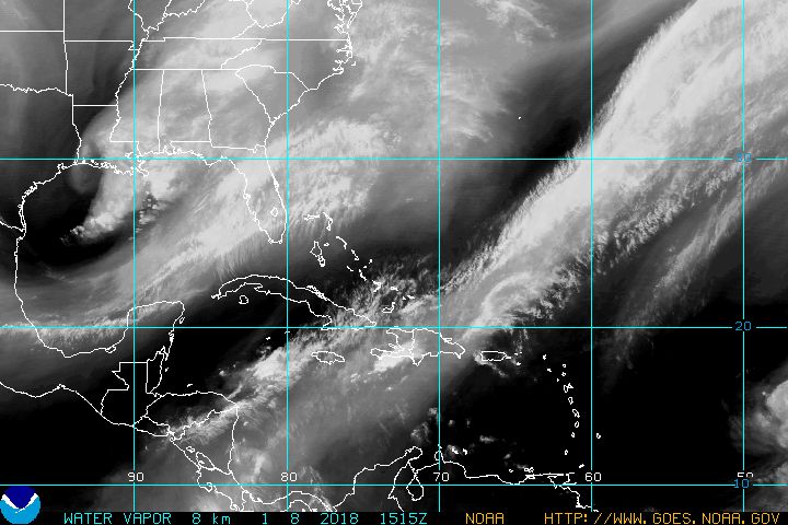
Hurricane Sandy is a Category 1 Hurricane with sustained winds at 80mph. She is sitting in the Atlantic due east of Miami, Fla. She is moving NW at 10mph. Here is the latest track:


There is a general consensus now that there will be landfall from Delaware to Long Island. I am fairly confident we will see landfall in that area as of now. One thing that I am going to say, DO NOT GET CAUGHT UP in what category hurricane Sandy is. This is not your typical hurricane, and will not behave as such. I say this because some of the characteristics that she will be taking on before landfall will not be Hurricane characteristics. Sure, a category 1 is better than a 3, but this is a very unique situation. Sandy is going to Phase with an impulse coming down from Canada and that will further enhance Sandy. When this phase happens, it will no longer be a tropical system. it will be known as a Subtropical system, and the phasing will greatly enhance the strength of the storm. This is be a VERY large area that will be effected, and it will really not matter where landfall is, we will be effected. 

The phase is also whats going to draw Sandy back to the coast. Where exactly the phase starts will determine the landfall. This aspect will probably be unknown and will have to be "nowcasted" instead of forecasted. What to expect. Lots of rain, damaging winds, flooding, widespread power outages and possible torandoes (likely on the right side of the storm). 

Here is the estimated rain amounts graph: This will be updated as we come closer too (I beleive that is 12.8 going into Delaware)-

In any case,there will be plenty more updates coming through. Remember to follow my twitter (@townerswxpage) and my facebook page (Towner's Weather PAGE). 

Thursday, October 25, 2012

National Hurricane Center and HPC Not Messing Around

Wow, VERY bold. The National Hurricane Center just put this out with their 11am update:


PRELIMINARY EXTENDED FORECAST DISCUSSION
NWS HYDROMETEOROLOGICAL PREDICTION CENTER COLLEGE PARK MD
942 AM EDT THU OCT 25 2012

VALID 12Z MON OCT 29 2012 - 12Z THU NOV 01 2012


...HIGH IMPACT MERGING OF ENERGETIC SYSTEMS ANTICIPATED OFF THE
MID ATLANTIC COAST...


PRELIMINARY UPDATE...

DESPITE A MODEST CLUSTER OF OUTLYING DETERMINISTIC SOLUTIONS AND
ENSEMBLE MEMBERS FROM THE VARIOUS MODELING CENTERS, THE LION'S
SHARE OF GUIDANCE INDICATES THAT THE CIRCULATION ASSOCIATED WITH
HURRICANE SANDY WILL PASS CLOSE ENOUGH TO THE AMPLIFYING POLAR
TROUGH OVER THE EASTERN UNITED STATES TO BECOME INCORPORATED INTO
A HYBRID VORTEX OVER THE MID ATLANTIC AND NORTHEAST NEXT TUESDAY.

THE HIGH DEGREE OF BLOCKING FROM EASTERN NORTH AMERICA ACROSS THE
ENTIRE ATLANTIC BASIN IS EXPECTED TO ALLOW THIS UNUSUAL MERGER TO
TAKE PLACE, AND ONCE THE COMBINED GYRE MATERIALIZES, IT SHOULD
SETTLE BACK TOWARD THE INTERIOR NORTHEAST THROUGH HALLOWEEN,
INVITING PERHAPS A GHOULISH NICKNAME FOR THE CYCLONE ALONG THE
LINES OF "FRANKENSTORM", AN ALLUSION TO MARY SHELLEY'S GOTHIC
CREATURE OF SYNTHESIZED ELEMENTS. 

Halloween / Sandy Morning Update 10/25/2012

Wow, woke up this morning to hear that Sandy overnight strengthened to a extremely strong Cat 2 Hurricane. At the NHC 2am update, Sandy had sustained winds of 110mph. Thats 1mph short of being a Cat 3 hurricane. Once we are talking about a cat 3 or higher hurricane, it is classified as a MAJOR hurricane. I had read somewhere yesterday that two days ago, they gave Sandy about a 1% chance of reaching cat 3 status. As of 5am, her winds went down to 105mph sustained. But, she is now clearing Cuba and will be back over water. The next 24 hours will be telling. A major hurricane is quite a feat. In any case, here is the latest on Sandy:

A beaut:


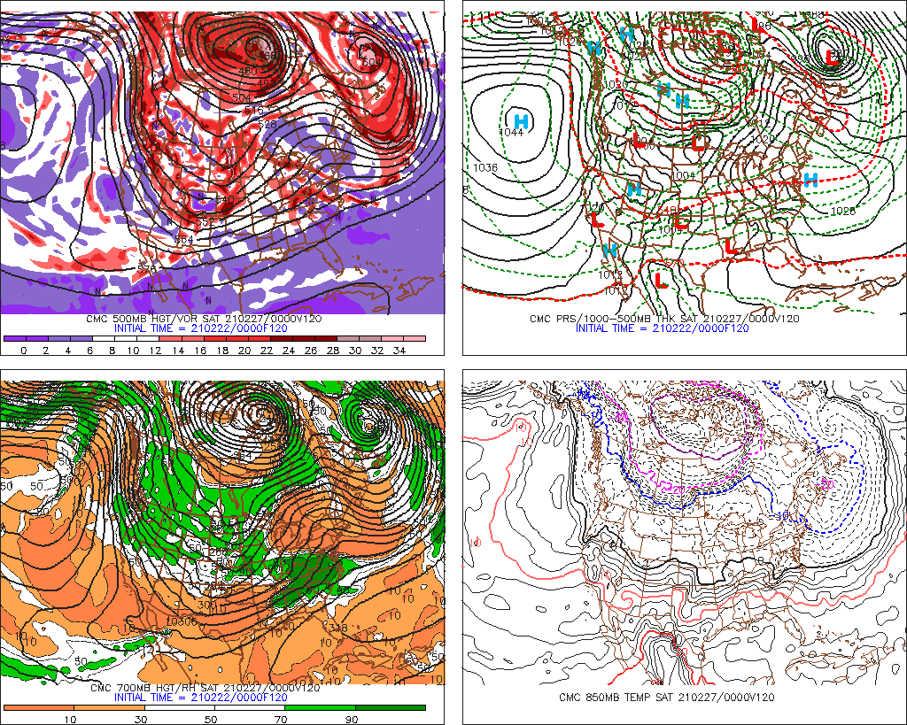
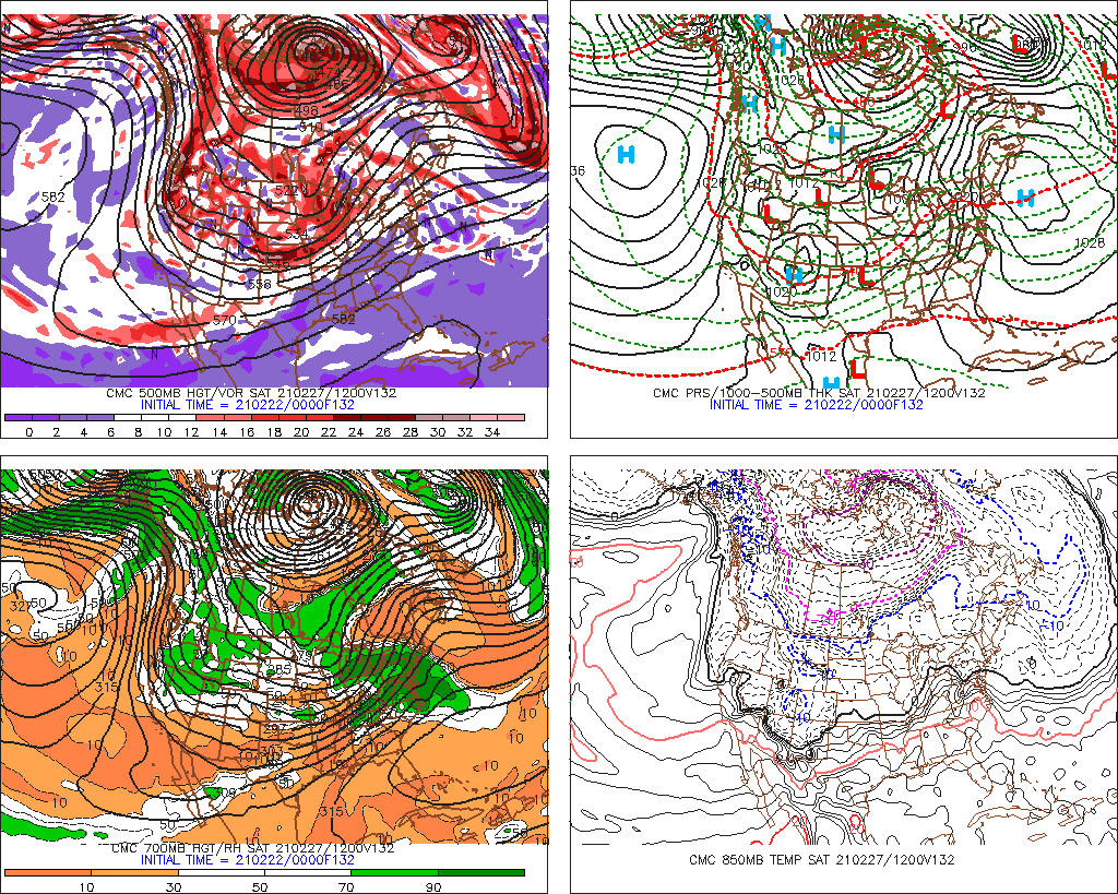
Now, to the models. The Euro stays steadfast. Still shows a bomb making landfall in Deleware / South Jersey. This is the 8th run in a row of a fairly consistent landfall. Here is the model:

MONDAY EARLY MORNING:

TUESDAY EARLY MORNING:

The NOGAPS gives a similar outcome although a little bit earlier:

Sunday Evening:
Monday Morning:

And the Canadian Model shows a similar track, but does not have the "phase" until it hits Long Island and then brings it back west across NYC (and this is Tuesday Morning):


Tuesday Evening:

 The GFS model continues to bounce around from its out to sea solution, to a landfall in Maine and moves back west across Northern New England. As of the morning run, it was showing a further west track (for this model) and brings Sandy up to Maine before a phase occurs and brings it back over land:

Wednesday Morning:

6hours later:

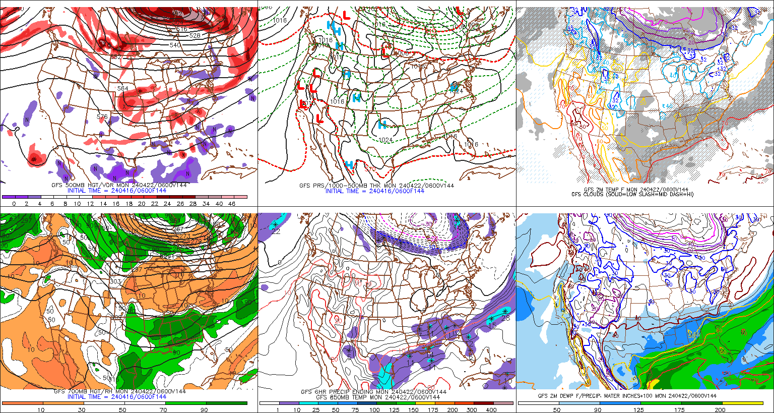
So, there still is some spread. What we do know is there is an immense amount of variables that are going into this system. There is a lot that can go wrong and the timing needs to be perfect. A delay here, or something is not as strong as modeled can play a big part in a different solution. I will also say though, the closer we get, the chances increase of accuracy. Also, the National Weather Service will be performing increased weather balloon launching for each model update starting today. This will aid in getting the most up to date upper atmosphere conditions to be inputted into model guidance. 

For Jersey (or any area really) the strongest part of a hurricane is the right front quadrant then the right lower quadrant. These areas have the highest storm surge, heaviest rain, strongest winds and also the area that produces most of the severe weather (tornadoes, hail). This would be the impact for Jersey with a EURO or NOGAPS hit. The Right lower quadrant is the second strongest part, followed by the left front quadrant (Canadian Model scenario) and then the left lower quadrant is typically the weakest. This is another aspect of the storm that will have to be followed. You can imagine if we have a storm surge of 10-15 feet of water moving up the Delaware Bay into the Delaware River. 

Anyways, more to come. Please stay tuned. 

I will be updating both my twitter account (@townerswxpage) and facebook (Towner's Weather PAGE)