Well, its a little early, but we have a storm to track. This morning, some weather models were hinting at a significant east coast storm towards the end of the month. Then, the midday runs had all the major models jumping on board, and surprisingly a strong agreement in track up to about 120 hours. The beginnings of this is a disturbance now, south of Jamaica. This storm has a high likelihood of developing into a tropical cyclone over the next couple days (tropical storm / hurricane). As this moves north, it is going to interact with the subtropical jet stream arctic jet and the polar jet streams setting up the potential for a significant to severe weather situation along the east coast ( a perfect storm? triple phaser?). Like i said, all models had some semblance of this at the midday run.
So, what does this all mean....well, obviously, the potential is there for a significant storm. We are days away and for now, we need to watch this and see how things unfold. The Euro model has this coming in around the 29th, while the GFS model has this around Halloween. This would take a immense amount of variables to come together to produce this. Anyways, keep your guard up, pay attention and follow me on facebook (Towners Weather Page) and twitter (@townerswxpage).
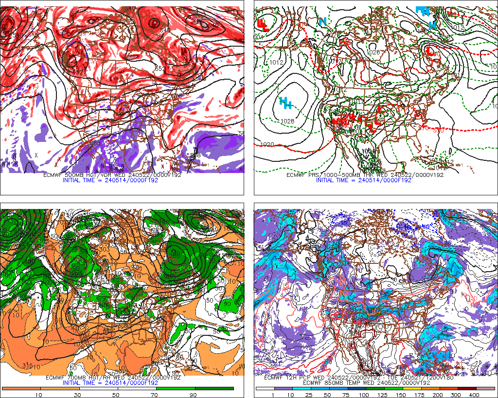
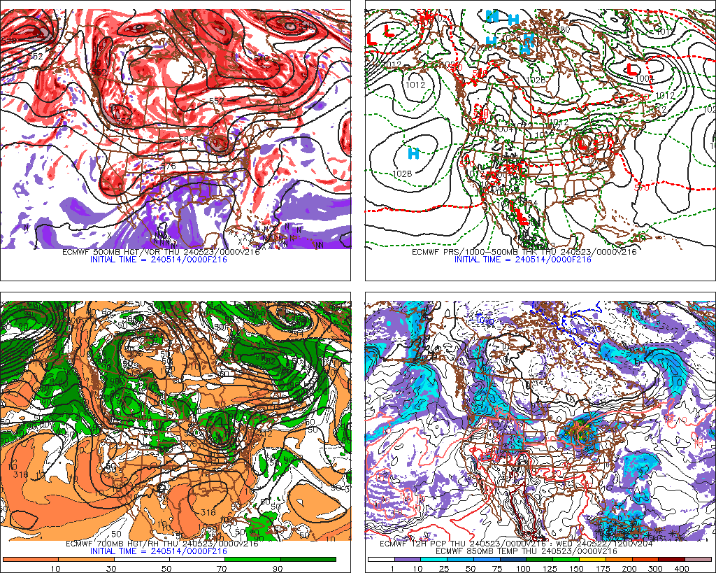
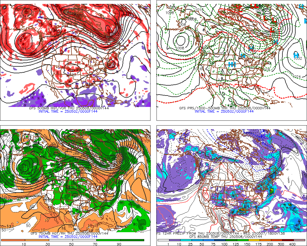
Here are variables and model runs:
Disturbance (number 1):
GFS Midday Run: 204 hours
EURO Model Run 180 hours
And for good measure, a snow map out to 384 hours on the GFS (includes this storm)
More to come....