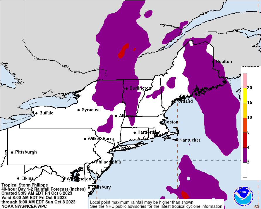
Currently, Andrea is ready to make landfall into Florida. From there she will track across Florida and up the eastern seaboard. Andrea is currently packing 60mph winds, heavy rains and even some tornadoes. Flash Flood Watches have already been posted in parts of the area (although not NJ yet). The biggest impacts for us will be rain. Andrea will pass to our east. You can remember from storms of the past, that the most severe weather is usually located on the eastern side, so that will be out over the ocean. We will however have copious amounts of rain. We are looking at potentially 2-4" of rain. Winds will be present, but for the most part will not be very significant.
Rain moves in tonight and will last through late Friday Night. Showers may stick around for a period of time Saturday morning. The heaviest rains will fall during the day on Friday. As usual, updates on twitter and facebook. Welcome to the tropical weather season!
Current Photos:


No comments:
Post a Comment