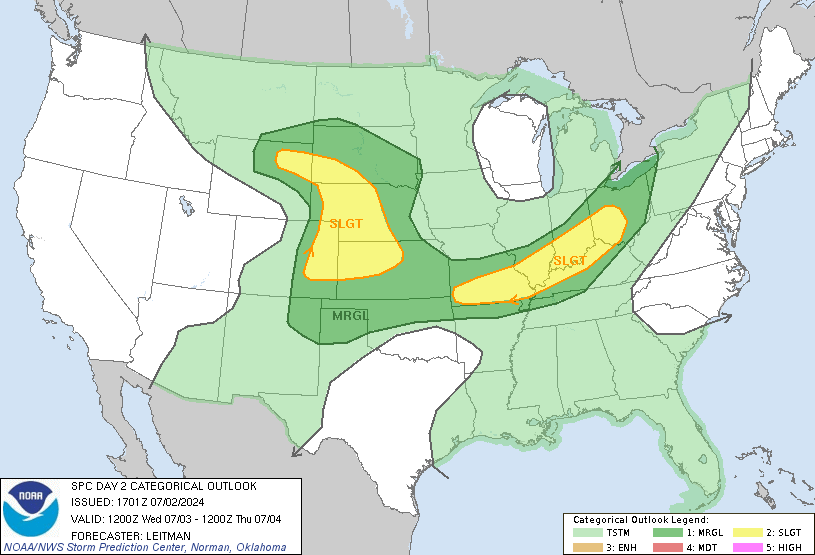
I had posted earlier about a potential severe weather event for tomorrow in our area. This still looks to be on track. Today, numerous severe thunderstorms and tornadoes have taken place in the Upper Midwest and now into the Ohio River Valley. These storms will move east and start to affect the the area overnight. While rain and possible some minor thunderstorms move in, the real event will be tomorrow afternoon.
The general breakdown will be heavy rains to the north and severe weather south. Central Jersey is going to be kind of a dividing line. The whole event hinges on the placement of a warm front. The warm front will be the dividing line between the two outcomes. If you are south of the warm front, you can expect rain and severe weather. North of the front, it will be a primarily heavy rain event. Areas north are looking at 2-4" of rain while areas to the south are looking 1-2" and the severe weather. The severe weather will be severe thunderstorms, dangerous lightening, hail, damaging winds and even a tornado threat. Remember too, our area has already received a lot of rain, and any additional can spell bad news on saturated grounds and rivers.
As of now, that warm front is poised to set up in north central NJ. As with all systems, timing will be key. A lot can change, but it would be a good idea to pay attention tomorrow. Having an alerting mechanism will be a good idea tomorrow either on your phone, radio or TV in case you get one of these storms.As always, I will be doing updates on twitter (@townerswxpage) and facebook (Towner's Weather PAGE).

No comments:
Post a Comment